Higher than almost anywhere else in Cornwall
Four Lanes takes its name from a crossroads, but what actually defines the village is altitude — it sits among the highest ground of any settlement in Cornwall, out on the open moorland shoulder of Carn Brea, well clear of any hedge, wood or hillside that might otherwise take the edge off the wind. This isn't a village that gets occasional bad weather; it's a village built where the weather simply arrives first and hardest, before it's had a chance to be broken up by anything on the way in from either coast.
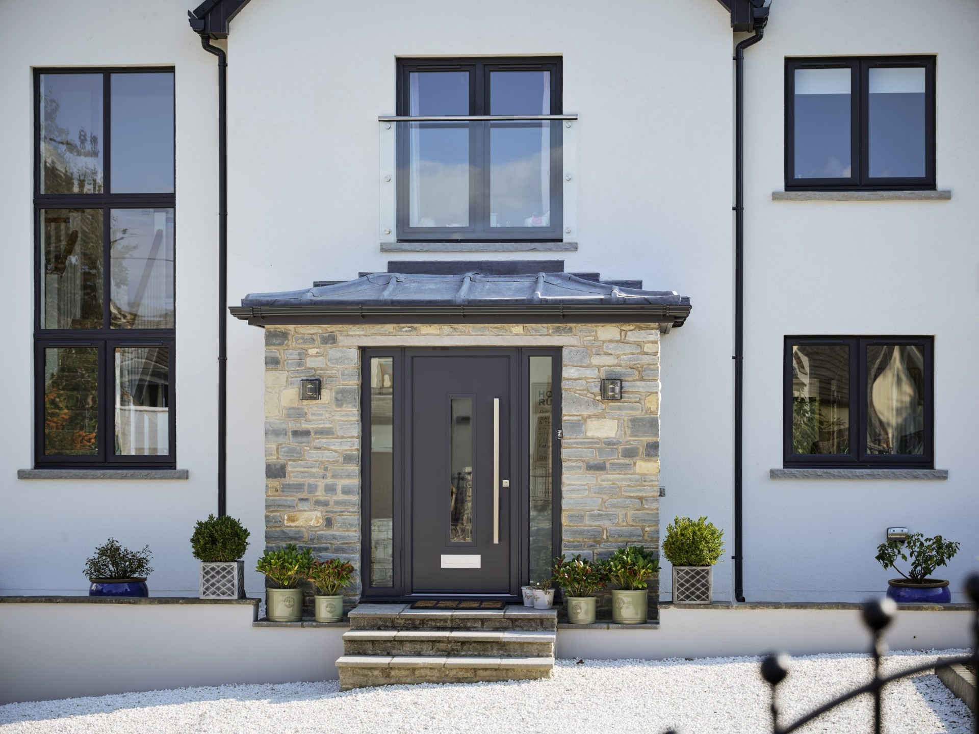
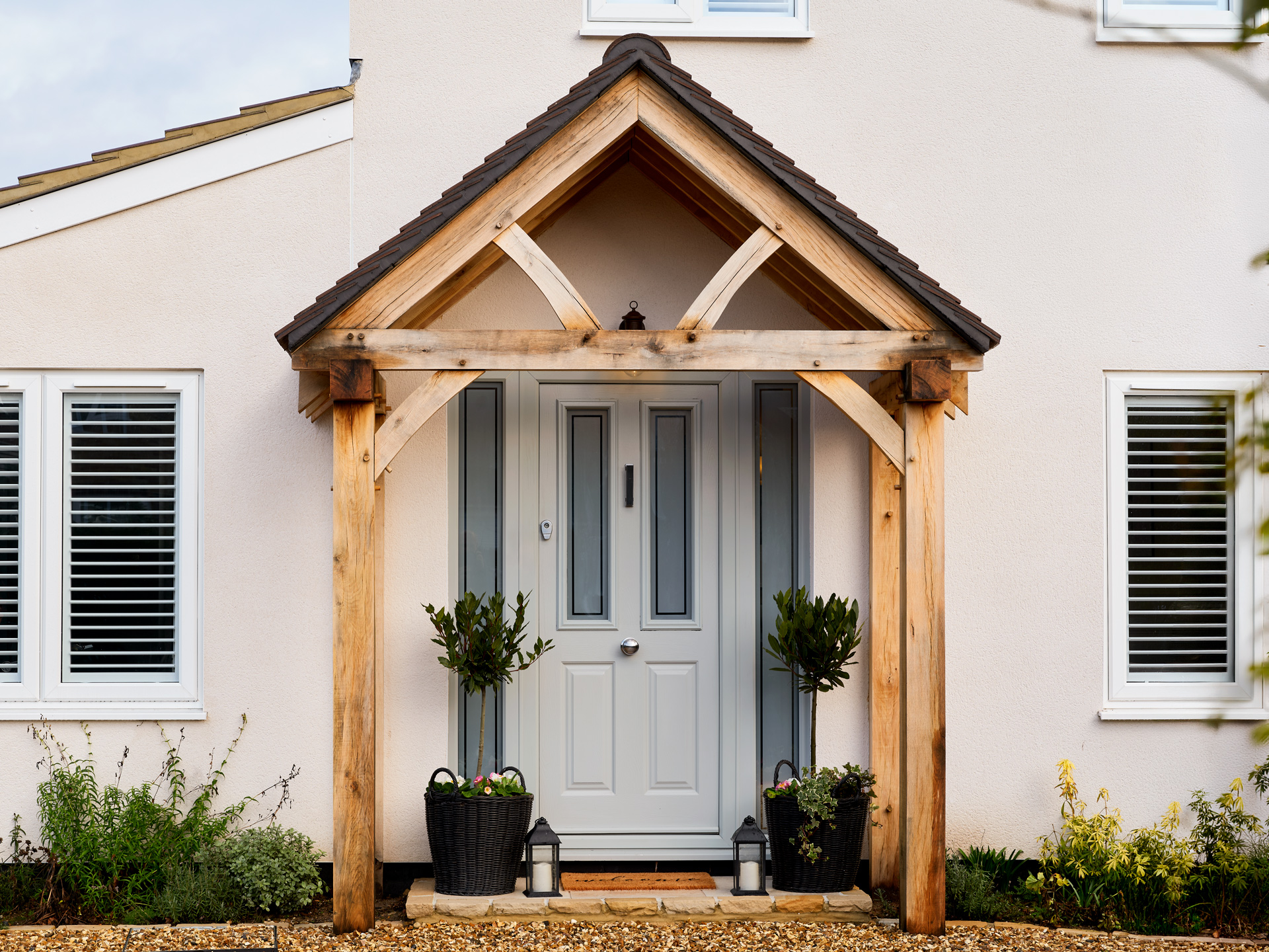
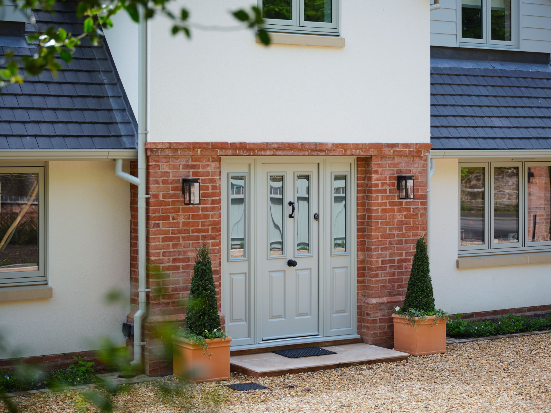
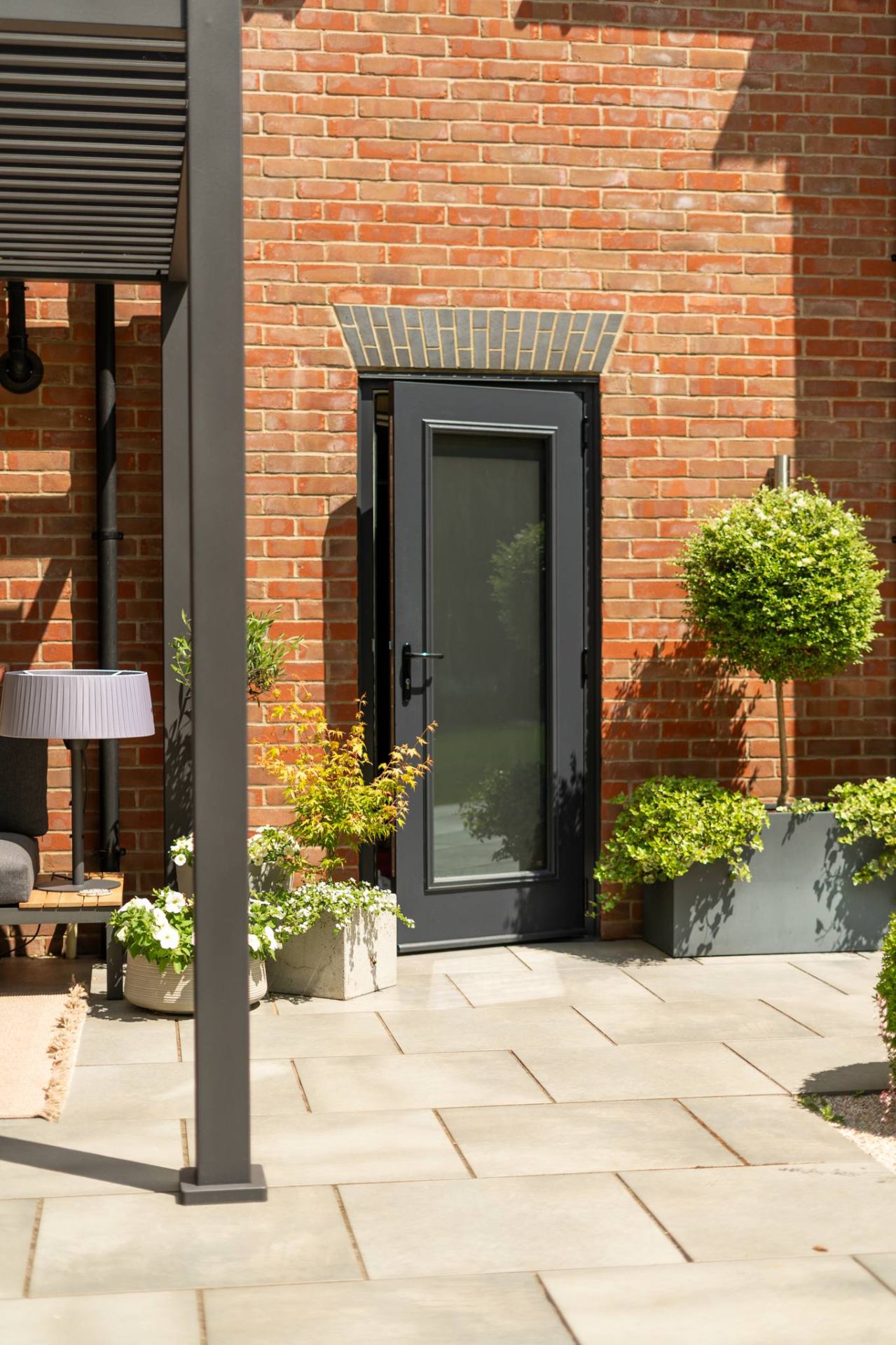
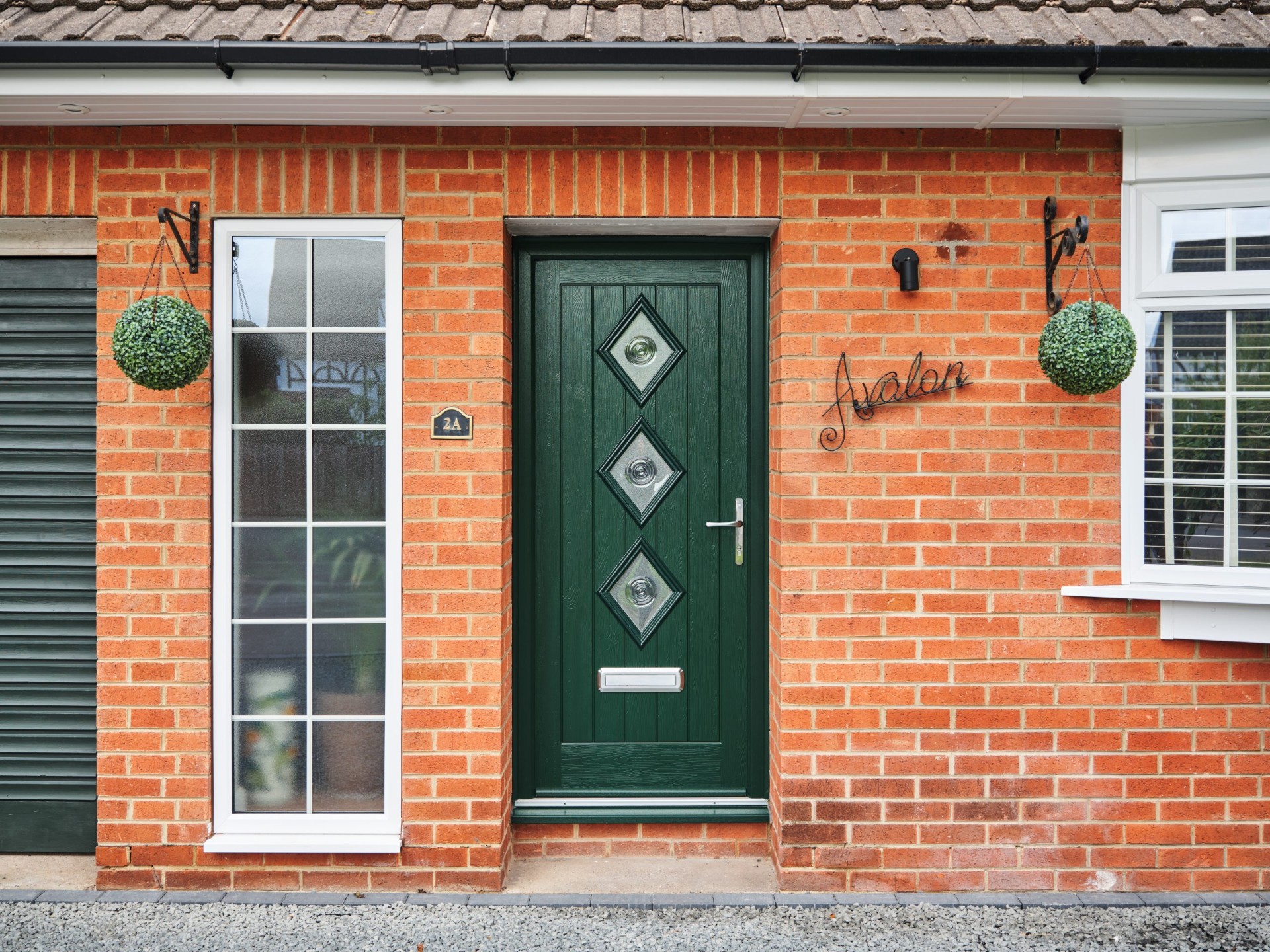
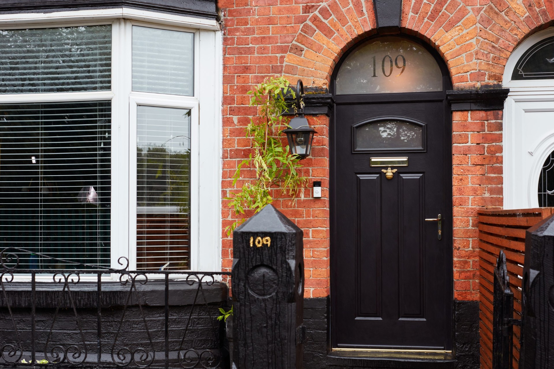
The housing is a genuine mix of mining-era terraces along Wesley Street and Church Road, built for the same industry that put Carn Brea's engine houses on the skyline, alongside more recent infill and a scatter of smallholdings and farms on the approach roads that sit fully exposed with nothing but open moor and field for company. Every one of these, terrace or farmhouse, deals with the same fundamental problem: wind loading on a front door that's about as severe as inland Cornwall gets, without a scrap of the salt that at least announces itself as a corrosion risk on the coast.
We treat Four Lanes as a full-exposure village in our own internal categorisation, on a par with the most exposed coastal locations we cover, purely on the strength of the wind data and what we've seen fail here over the years. It surprises some customers that a village this far inland gets the same specification as a clifftop property, until they've lived through one winter on this ridge.